
$1,280/
Per PersonThe Marangu Route, also known as the “Coca-Cola Route,” is one of the most popular paths to the summit of Mount Kilimanjaro in Tanzania. It is unique in being the only route that offers hut accommodations instead of camping. Here’s an overview of the route:
Key Facts
- Length: Approximately 72 km (45 miles) round trip.
- Duration: 5-6 days (commonly 5 days; a 6th day can be added for acclimatization).
- Difficulty: Moderate, with a gradual ascent but less time for acclimatization.
- Summit Success Rate: Lower than other routes (due to rapid ascent and lack of acclimatization time).
- Accommodation: Communal huts with bunk beds.
- Scenery: Passes through lush rainforests, moorlands, alpine deserts, and glaciers near the summit.
Highlights of the Route
- Starting Point: Marangu Gate (1,870 m / 6,135 ft)
The trek begins at the Marangu Gate, where trekkers pass through dense rainforest. The path is well-defined and relatively gentle during the early stages. - Mandara Hut (2,700 m / 8,858 ft)
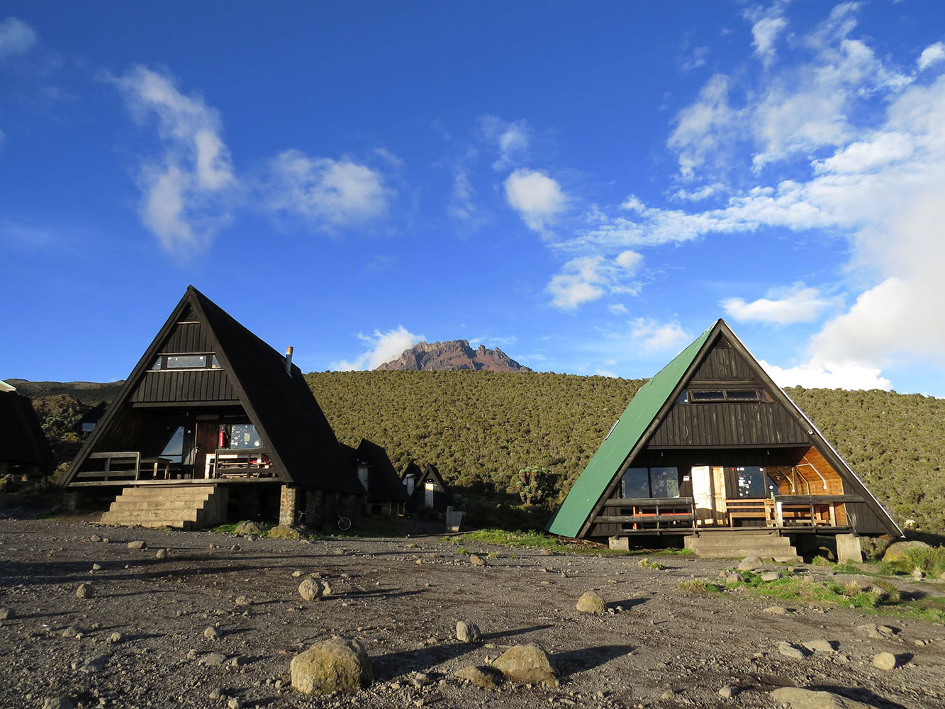
After the first day, trekkers reach Mandara Hut, a complex of wooden A-frame huts surrounded by rainforest. Nearby, a short hike to the Maundi Crater offers views of northern Tanzania and Kenya. - Horombo Hut (3,720 m / 12,205 ft)
The second stop, Horombo Hut, lies in a more alpine environment. This is a common place to take an acclimatization day if you’re doing a 6-day trek. - Kibo Hut (4,703 m / 15,430 ft)
The final hut before the summit push is Kibo Hut, located in a desolate, lunar-like landscape. It is a long trek from here to the summit, and most climbers depart around midnight to attempt the peak. - Summit: Uhuru Peak (5,895 m / 19,341 ft)
The ascent to the summit is steep and passes through Gilman’s Point (5,685 m) on the crater rim before reaching Uhuru Peak, the highest point in Africa. The path is challenging due to the high altitude and cold, but climbers are rewarded with breathtaking views.
Included and Excluded
Highlights of the Tour
Itinerary
Marangu Gate (1,860m) to Mandara Hut (2,700m) Distance: 8 km Hiking Time: 4–5 hours Habitat: RainforestRegister at the gate, hike through lush forest to Mandara Hut.
On this day, you leave the forest behind and enter the moorland zone, which is characterized by grasslands, shrubs, and heather. Views of the two peaks, Mawenzi and Kibo, emerge as you gain elevation. The trail is steeper than on the first day. You will spend the night at Horombo Hut. Starting Elevation: 2,700 m (8,858 ft) Ending Elevation: 3,720 m (12,205 ft) Distance: 12 km (7 miles) Hiking Time: 6-7 hours Habitat: Moorland
Today’s trek crosses the saddle between Mawenzi and Kibo, a barren and desert-like terrain. The landscape becomes increasingly sparse, with rocky paths and strong winds. Distance: 10 km Hiking Time: 6–7 hours Habitat: Alpine DesertAscend through alpine desert zone to Kibo Hut, rest before summit.
Your summit attempt begins around midnight. The climb is steep, and you will first reach Gilman’s Point (5,685 m) at the crater rim after about 5-6 hours. From there, it’s another 1-2 hours along the crater rim to reach Uhuru Peak, the highest point in Africa. After celebrating at the summit, you descend back to Kibo Hut for a short rest and continue descending to Horombo Hut. Starting Elevation: 4,703 m (15,430 ft) Summit Elevation: 5,895 m (19,341 ft) Ending Elevation: 3,720 m (12,205 ft) Distance: 22 km (14 miles) (Round Trip) Hiking Time: 10-14 hours Habitat: Arctic zone (Summit) and Moorland (Descent)
On the final day, you descend from Horombo Hut back through the moorland and rainforest zones to the Marangu Gate, where you will sign out and receive your summit certificate. Starting Elevation: 3,720 m (12,205 ft) Ending Elevation: 1,870 m (6,135 ft) Distance: 20 km (12.5 miles) Hiking Time: 6-7 hours Habitat: Moorland and Rainforest
On this extra day, you can take a rest or acclimatization hike to Zebra Rocks (around 4,000 m), helping your body adjust to the high altitude and increasing your chances of summit success. Starting Elevation: 3,720 m (12,205 ft) Ending Elevation: 3,720 m (12,205 ft) Hiking Time: Varies Habitat: Moorland
Location Map
Frequently Asked & Question
Book Your Tour
Reserve your ideal trip early for a hassle-free trip; secure comfort and convenience!